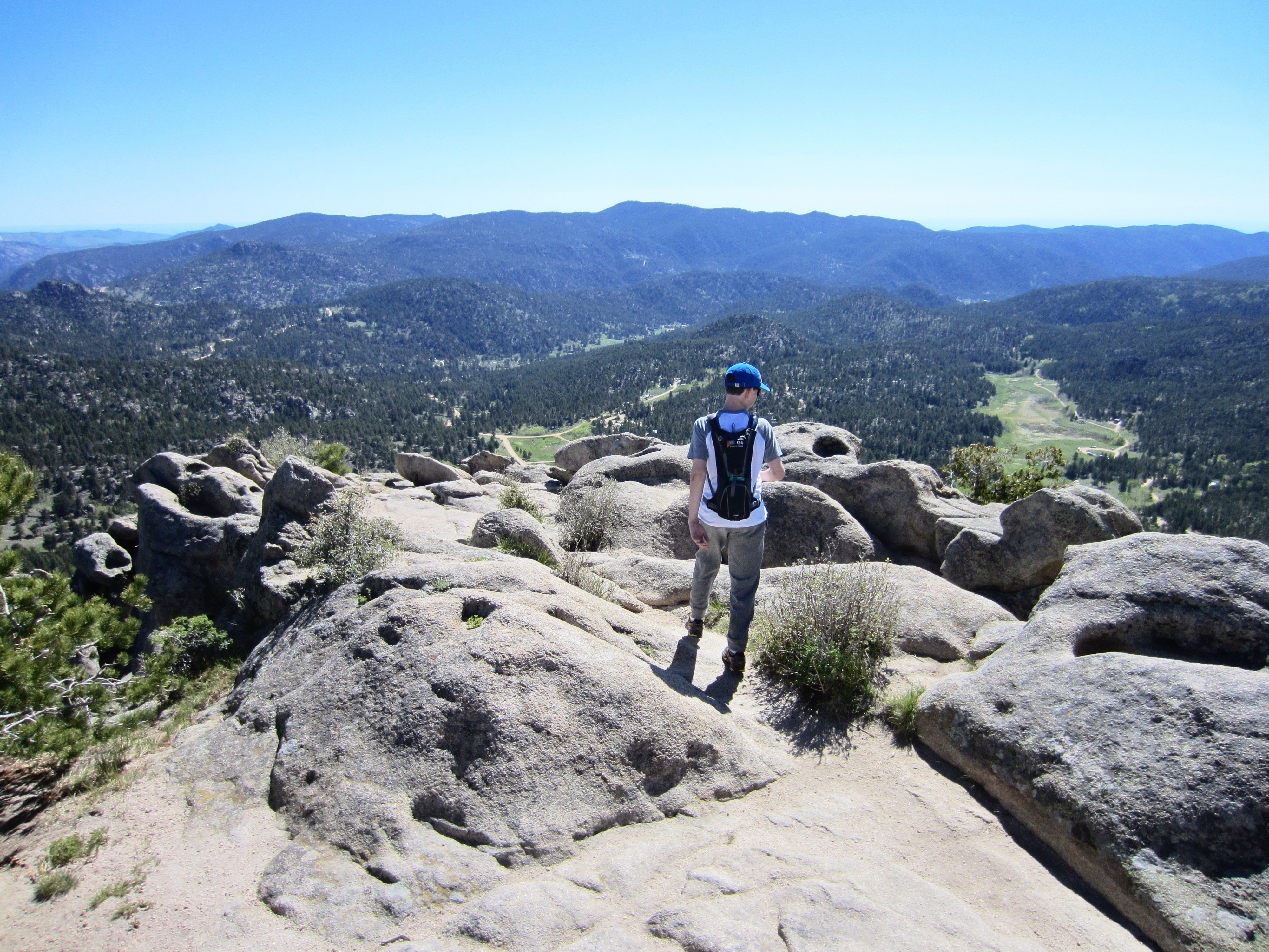
Shadows were growing long, and I was reduced to a pitiful, stooped-over shuffle. My 35 pound backpack felt more like 100. My feet were killing me. Everything hurt. But I had only one choice.
Just. Keep. Moving.
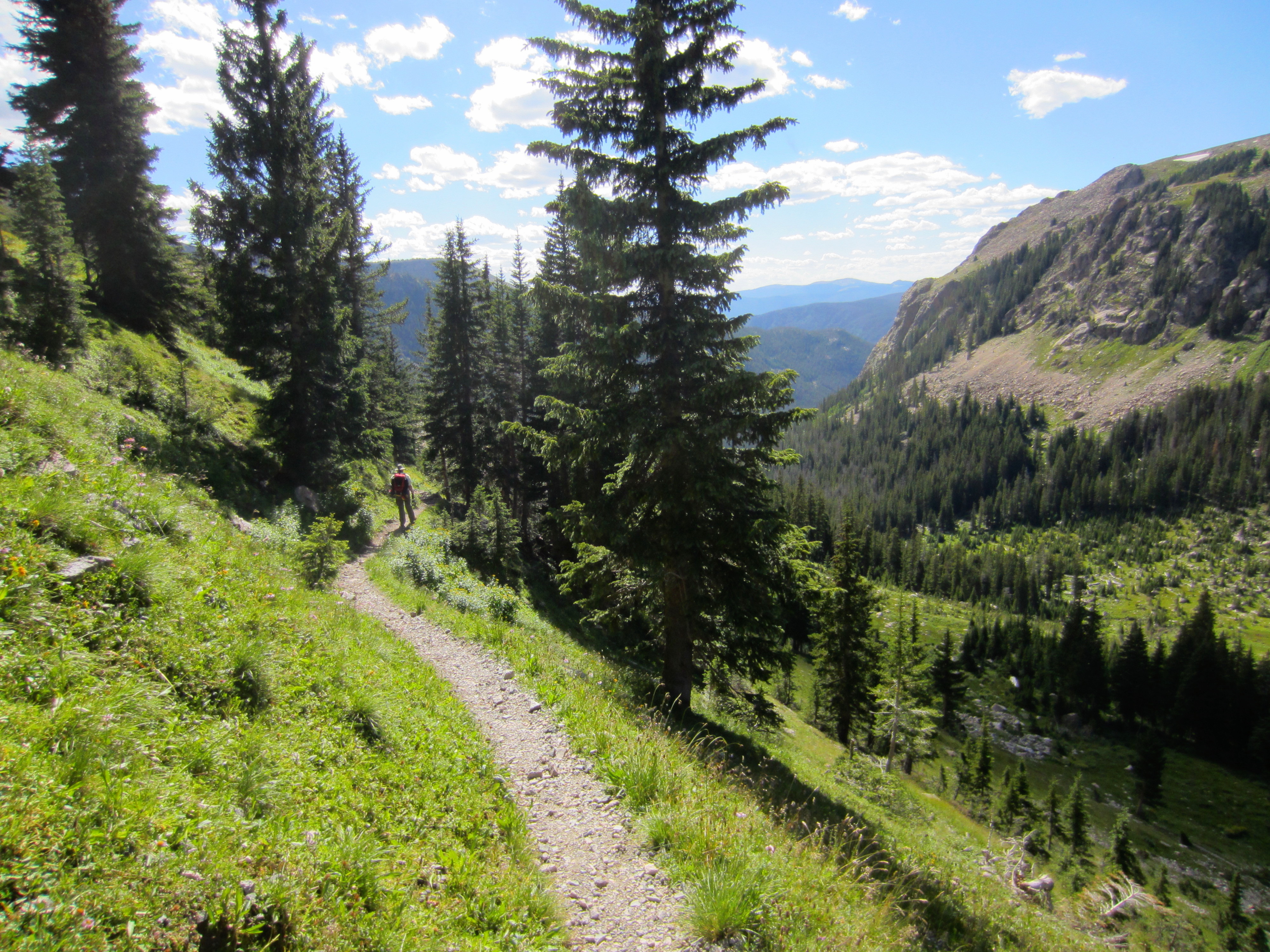
Soon these never-ending switchbacks to the bottom of the gorge would end, and my Dad and I would finally reach our camp site.
I trained my thoughts away from my aching feet and shoulders to the spectacular, sweeping views I had enjoyed earlier in the day, and the events that had led me to it.
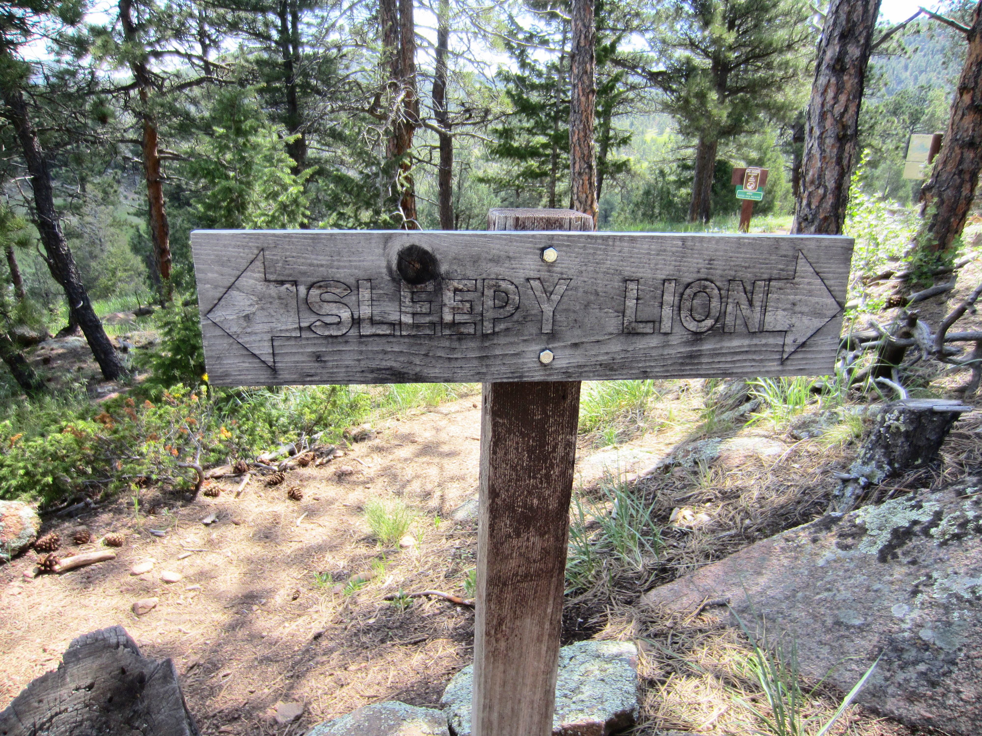
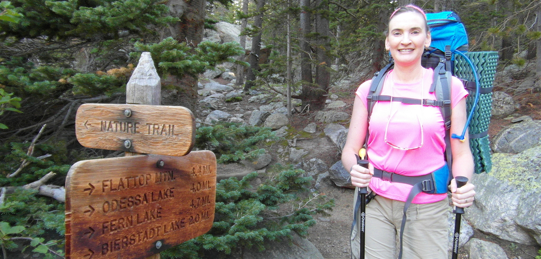
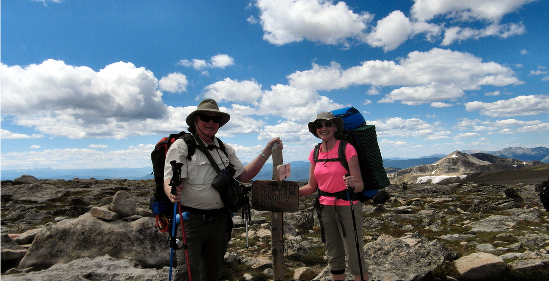
This continental divide “up-and-over” hike from Bear Lake to Grand Lake was planned by my Dad, Larry W. Jones. It was our first overnight backpacking trip. So why would he plan an 18 mile hike in 2 days with a 2800+ ft elevation gain for our first backpacking trip?
Because Dad doesn’t ease into anything. He jumps in with both feet.
Like a crazy person, I jumped in after him.
In his defense, Dad defies his 70 years by hiking most Fridays with a group of friends, and sometimes for long distances. So this hike would test his endurance, but was definitely within his capability.
I, however, sit at a desk. My exercise routine consists of running loads of laundry from the 2nd floor bedrooms to the basement laundry room. This season I had been on only a few hikes, each less than 5 miles round trip. I never carry anything on my back, preferring a waist pack for my water and snacks.
And I have a problem knee.
On my dad’s recommendation, I wore a knee brace on my right leg for a conditioning hike, and it appeared to help. But could it get me up and down 18 strenuous miles in two days? I simply wouldn’t know until I was in the middle of it. I could only hope that I would not be “peg-legging” down the trail in pain at some point, dreaming of an airlift.
But I couldn’t pass up this opportunity. It was going to be a father-daughter hike, with spectacular views.
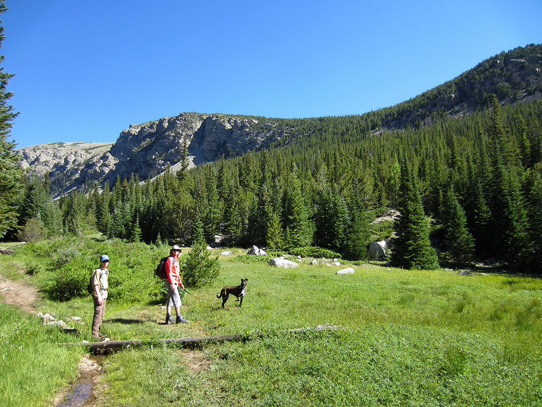
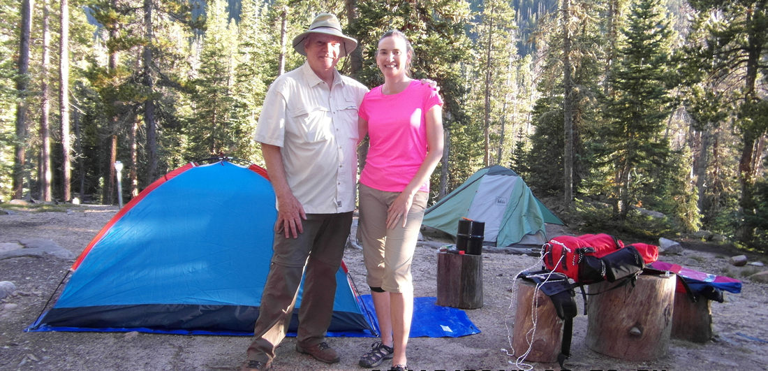
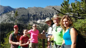
We hit the trail at Bear Lake at 7:30 that morning, fresh and ready for the day.
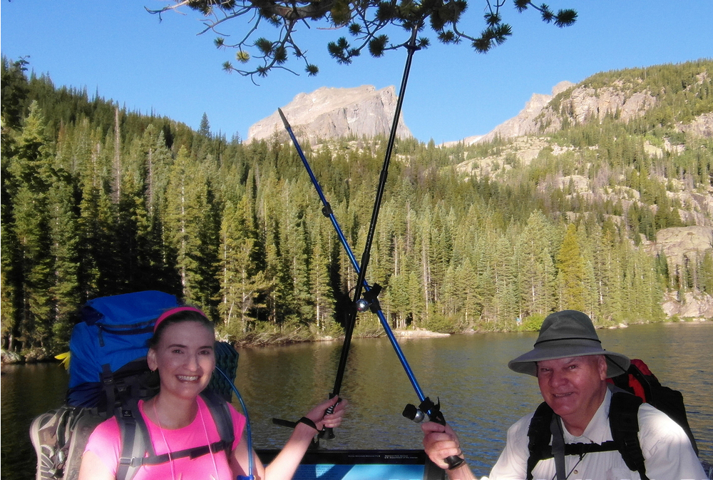
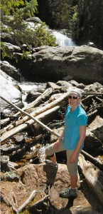
Stephanie Leach & Larry W. Jones – 8/16/2014
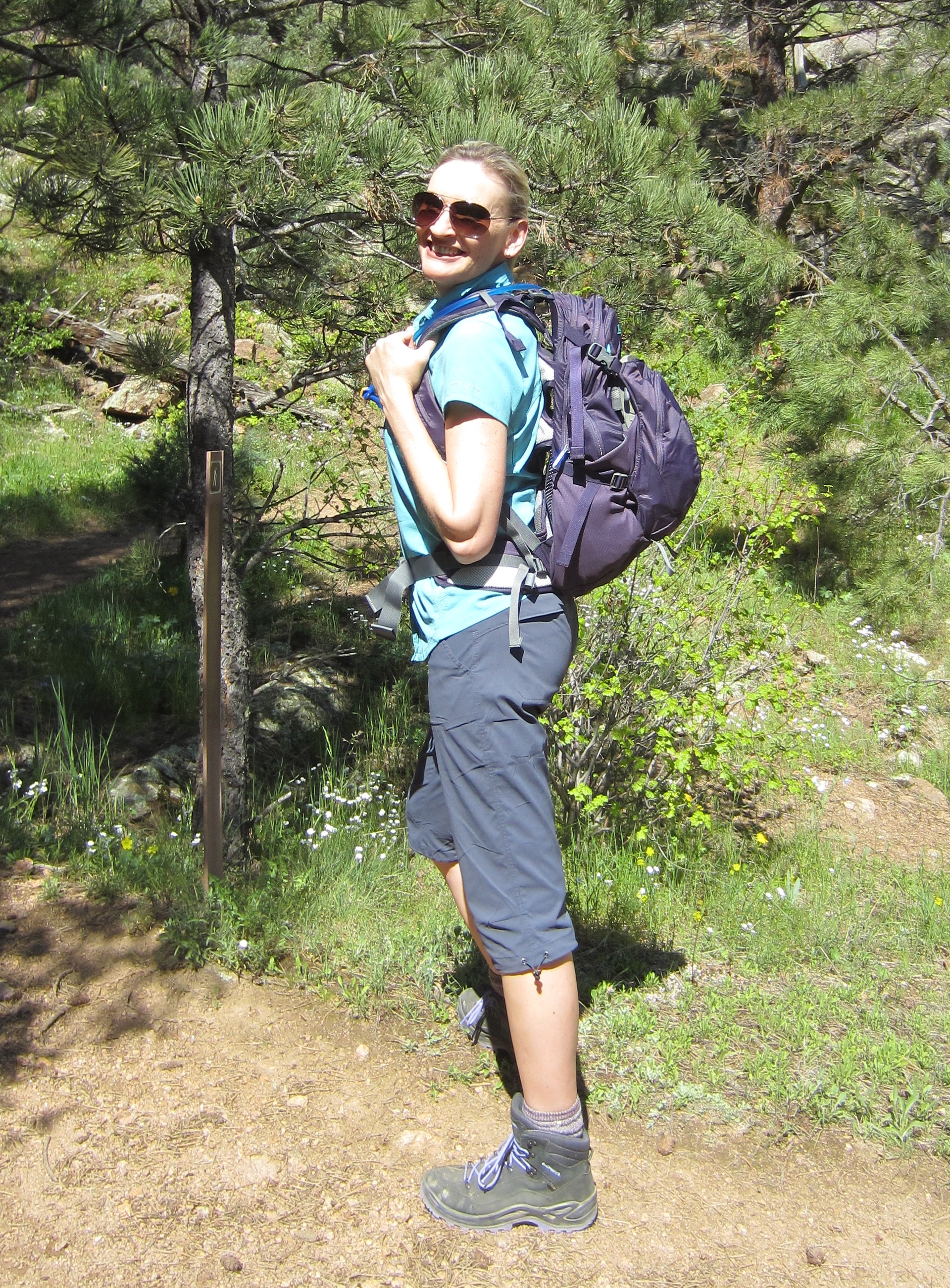
Quickly I realized that the shoulder straps of my pack needed to be moved up now that I was carrying a full load. I sat down on a rock to take the weight of the pack off my waist and shoulders so that I could take it off. Fortunately, my pristine, new pack, a Deuter Women’s ACT Lite 60 + 10 SL in Midnight/Cool Blue, is fully adjustable. I moved the shoulder straps up one full notch, got it back on with Dad’s help, and began the 2,849 foot ascent up Flattop Mountain.

That 4.4 miles took 5.5 hours.
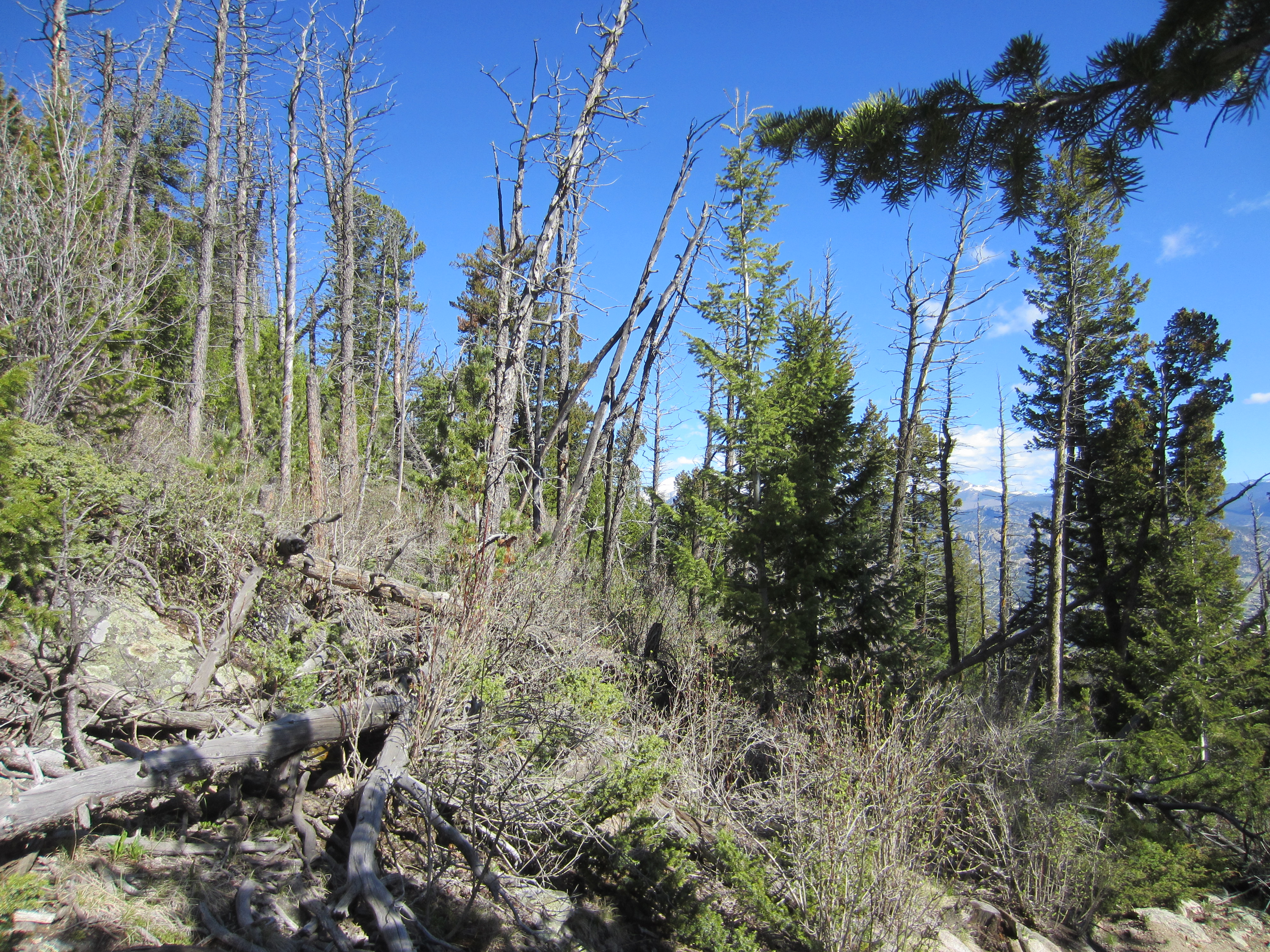
We climbed steadily through spruce-fir forest, stepping aside often to allow day-hikers to pass. It was a clear, beautiful day. Perfect weather for a trail that is 50% above treeline, and many were taking advantage of it.
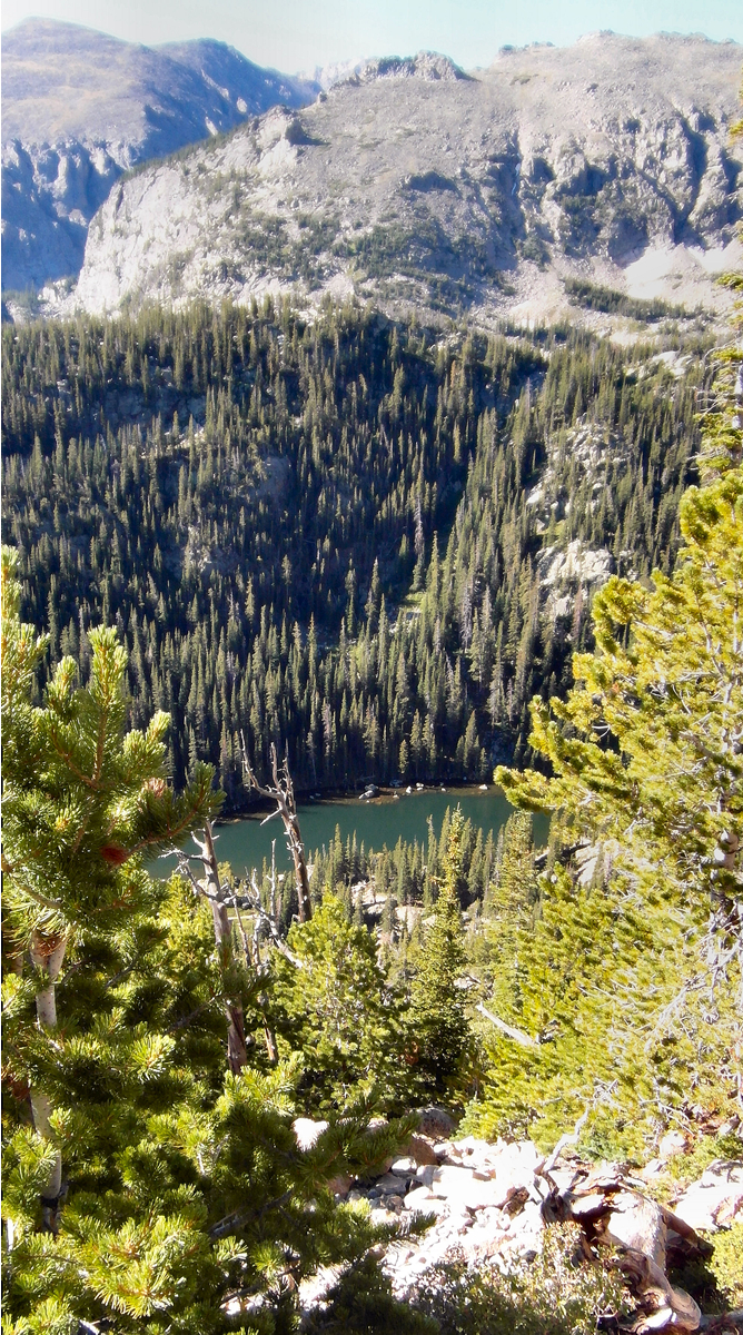
At 1.6 miles we reached the Dream Lake Overlook with good views up Glacier Gorge, and of Keyboard of the Winds on Longs Peak’s west ridge.
Dream Lake Overlook
Photo by Larry W. Jones
We took off our packs to rest, and were surprised to meet a group of fellow Jehovah’s Witnesses, on vacation from Wisconsin. Dad noticed their JW.org buttons. It was so neat to know who they were on sight. We took pictures together and exchanged email addresses.
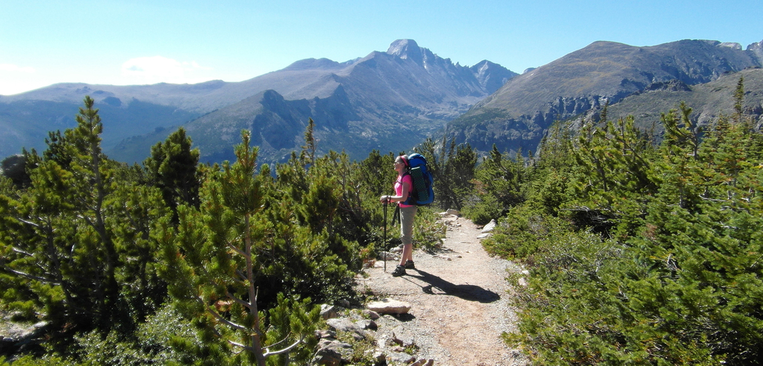
Rest and bio-break over, we got back on the trail. We climbed steadily through thinning pine forest to the spectacular Emerald Lake Overlook at 2.9 miles.
At 11,357, we were nearly even with Tyndall Glacier, one of 5 active glaciers in the park. We stopped to take in the view and snap some pictures. The view of the steep, glacier carved walls of the gorge, with Emerald Lake sparkling at the bottom like a jewel – so beautiful.
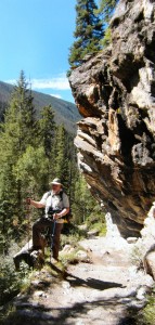
Krummholtz on Flattop Mountain Trail with Long’s Peak in the background.
Photo by Larry W. Jones
Back on the trail, the grade moderated, and the thinning forest gave way to the krummholtz. There, among the twisted, stunted pines, we enjoyed sweeping views of the valley below, including Sprague Lake, and Estes Park.
We met up with a ptarmigan and her two growing chicks. They were as camouflaged as an animal can get, and only visible when moving. Soon they would be sporting white feathers in addition to brown.
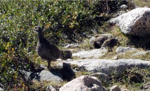
Ptarmigan and Chicks
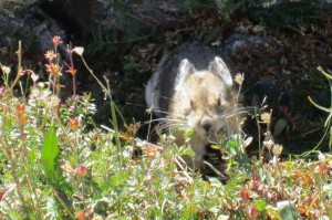
Pika
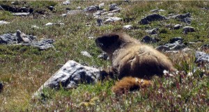
Yellow Bellied Marmot
After a brief rest Dad reminded me that we still had far to go. We pressed on.
The krummholtz and switchbacks gave way to tundra and a steady grade. As the air thinned, I paused to rest often. I was slowly getting used to the pressure of the straps against the front of my shoulders, and the load on my body. But the extra weight made this part of the trail slow-going.
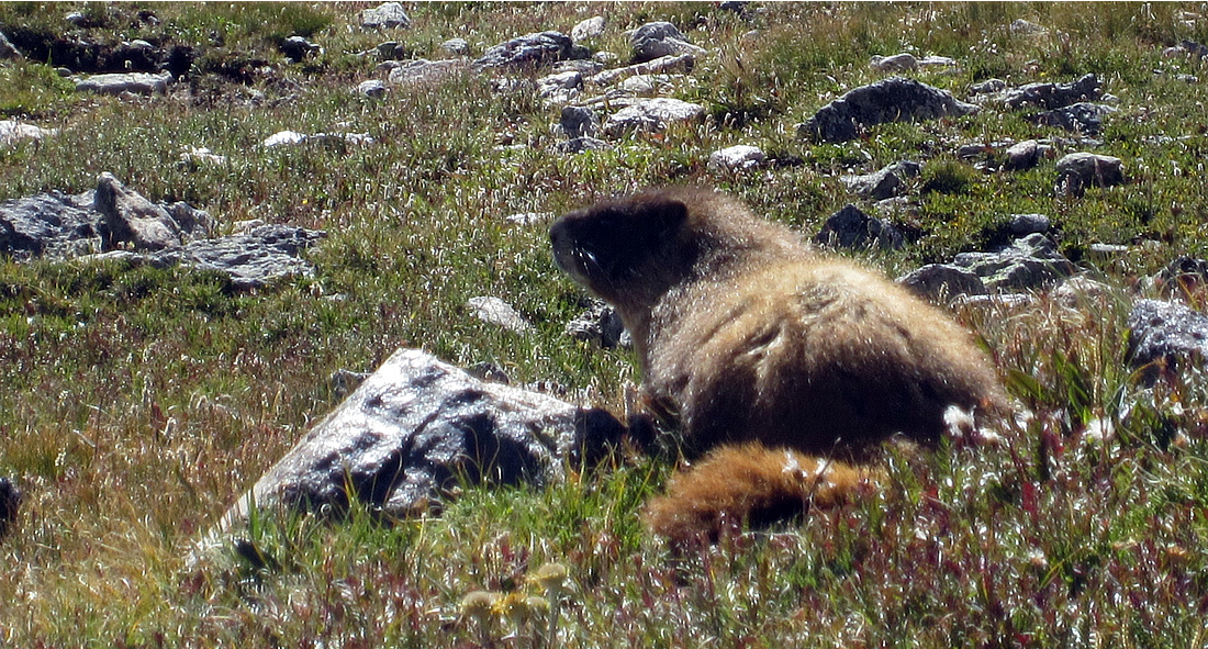
Fortunately, there were plenty of pika to distract me, scurrying around with mouthfuls of grass. And when I got really winded, a group of very fat and friendly yellow-bellied marmots entertained us on the trail.

Final Approach to Flattop Photo by Larry W. Jones
A brisk wind chilled my arms, but with all of the effort going on, I didn’t feel the need to put on a jacket just yet.
As we neared the hitchrack at 3.9 miles, I spotted one lone bull elk out on the tundra.
“You made it!” The woman cheering my arrival was the same one that I had shared a brief conversation with far down on the trail. I told her how nice it was to have my “cheerleader” on the trail today. (Later I would wish she was with me!)
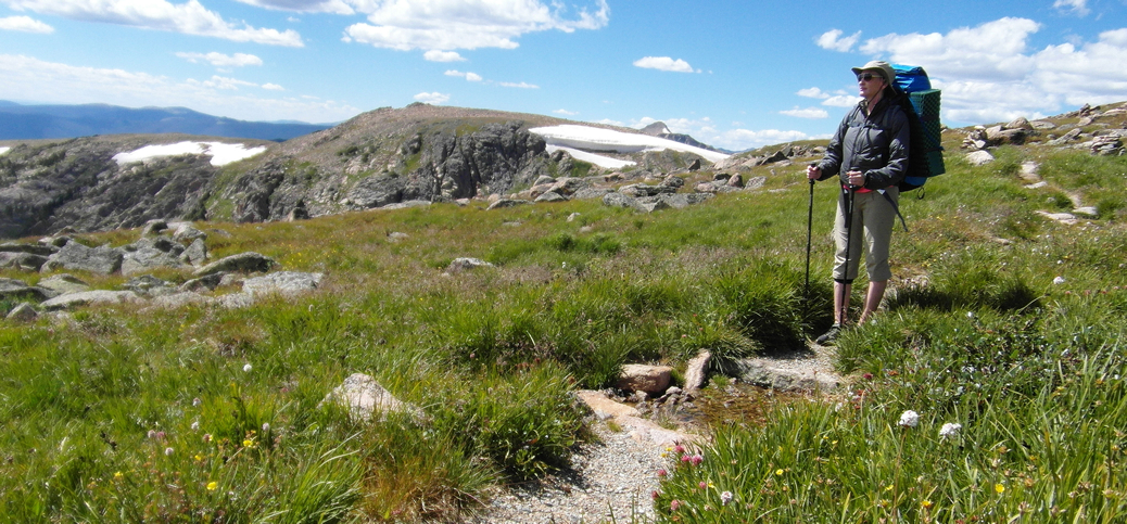
Flattop Mountain
Flattop Mountain is really a long saddle on the Continental Divide. The wide open tundra ahead of me was dotted with several dozen hikers resting, eating lunch, or heading off to summit the nearby Hallett and Otis Peaks.
We came across a man standing by his tent, laid out on the ground.
“You didn’t camp here?” I asked. Well, it was more of a statement than a question.
He laughed. “No, just drying out the tent.”
He and his buddy had camped the night before at the very camp site we were headed to at the North Inlet Junction. It rained on them for 7 hours, and the tent pads had turned into bath tubs. They were headed to Bear Lake, and then were going to hike back over to Grand Lake. Doing it twice. I couldn’t imagine.

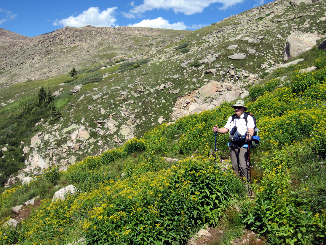
Lunch on the Tundra – Flattop Mountain
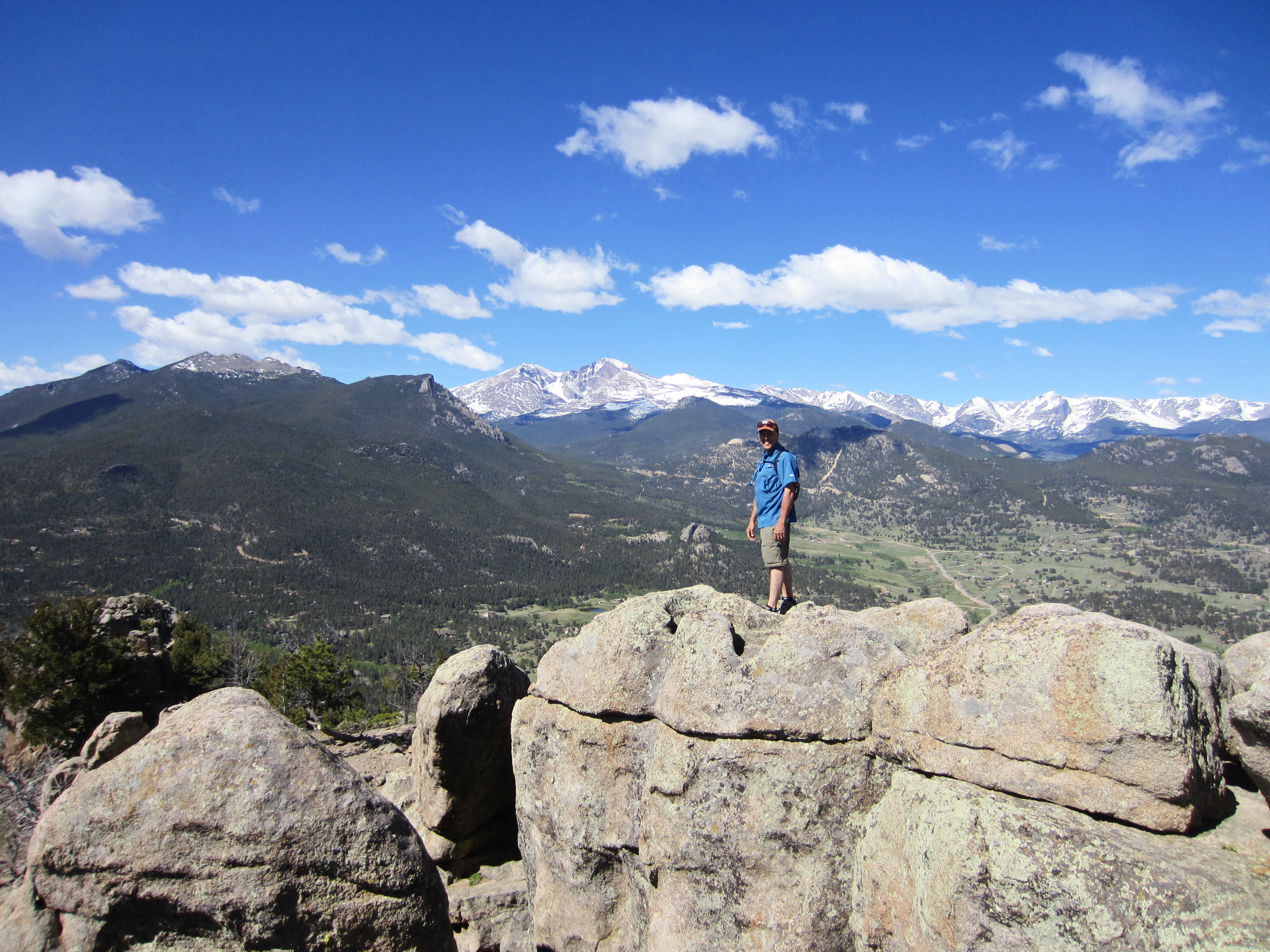
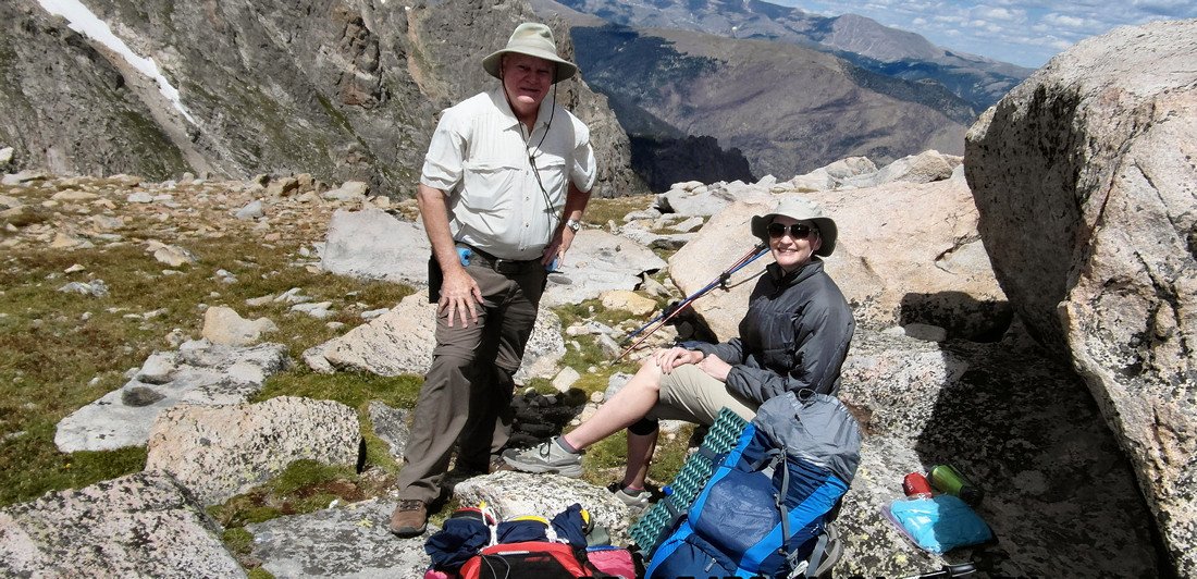
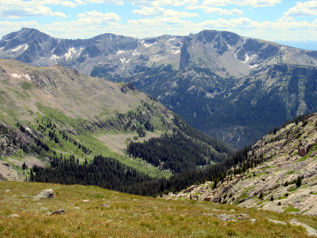
Grateful again for clear skies, we walked on to the Flattop Mountain Trail – Tonahutu Trail junction, which is generally recognized as the “summit” at 12,324’. There we found a grouping of rocks where we stopped to eat a late lunch, made all the more memorable by breathtaking views of the steep gorge below Notchtop Mountain.

Views of Notchtop Mtn with Lake Helene, Odessa Lake and Fern Lake at the Bottom
The wind was intermittent but brisk, and now that my pack was off, I put on my jacket. Dad ate his sandwiches, and I downed my vegan chickpea salad with Triscuits.
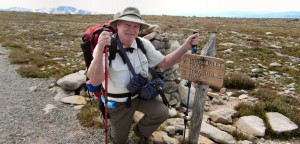
Larry W. Jones at the Flattop Mountain – Tonahutu Trail Junction, generally recognized as the summit of Flattop Mtn. Elevation 12,324.
Most of the tundra flowers were spent, being mid-August, but the landscape was still beautifully decorated with lichen covered rocks and boulders, with depressions holding pools of the previous day’s rain.
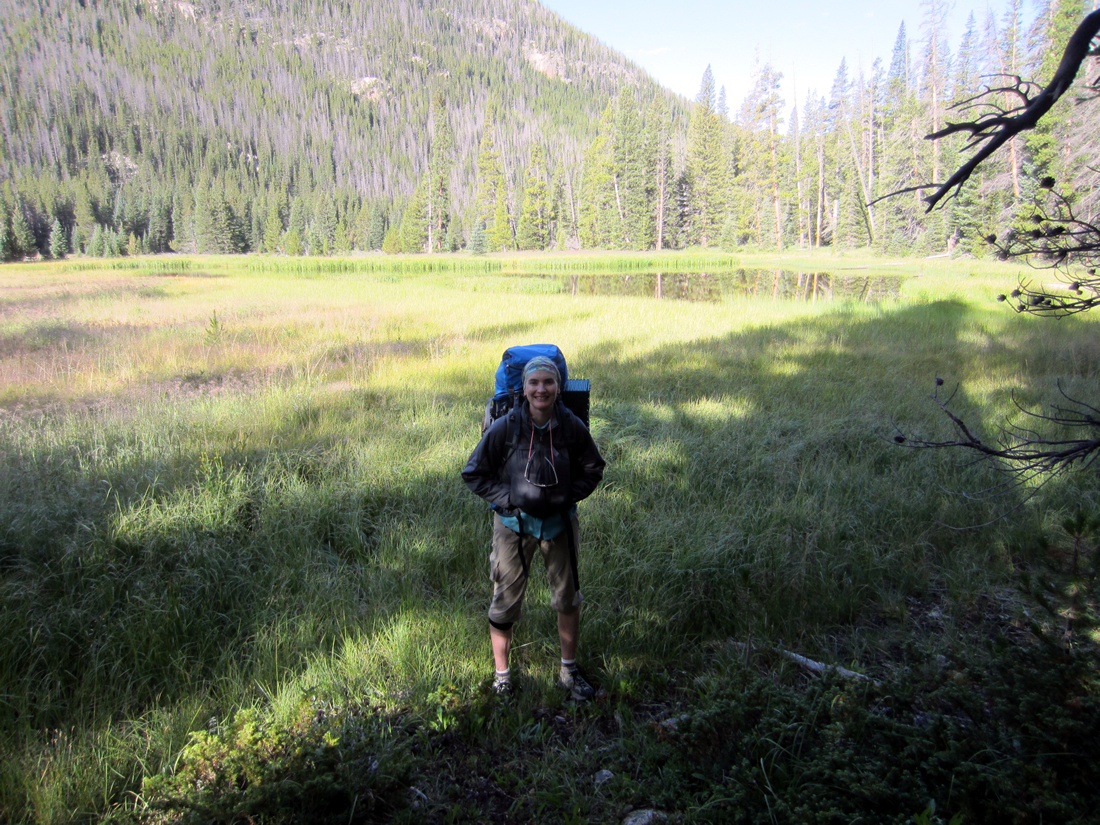
With another 5 miles or so still to go, we packed our bear canisters back up and hauled our packs onto our backs. Or rather, dad helped me get mine on. Every time. Was it really only 35 pounds?
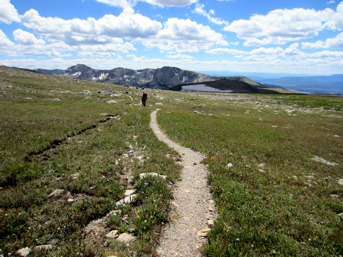
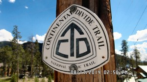
We took the North Inlet Trail south, trekking over the wide back of Flattop Mountain. I later learned that this section of trail is part of the mighty Continental Divide National Scenic Trail (CDT,) a 3100 mile trail that stretches from the Mexican border in New Mexico to the Canadian border in Montana.
The dusty trail was marked by pairs of waist high cairns, stretching on into the distance. I lengthened by stride and we made good time on the nearly flat terrain.
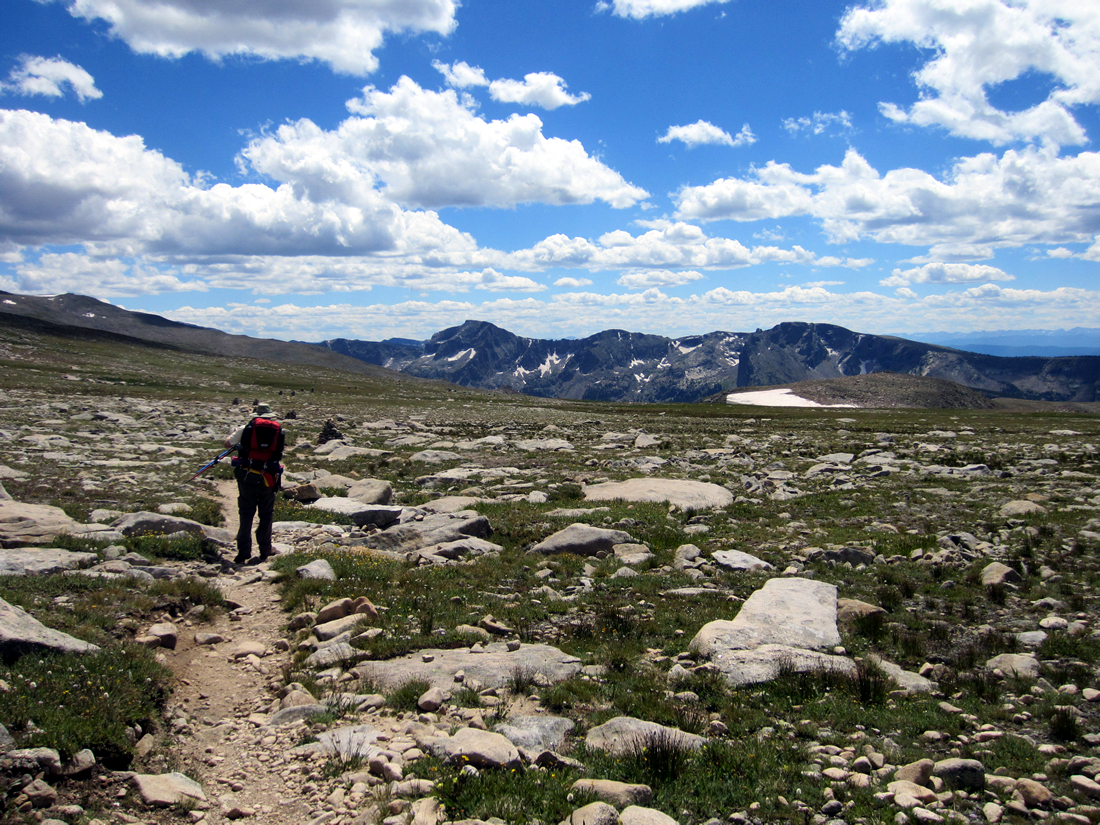
North Inlet Trail from Flattop Mtn – Marked by pairs of cairns as far as the eye can see.
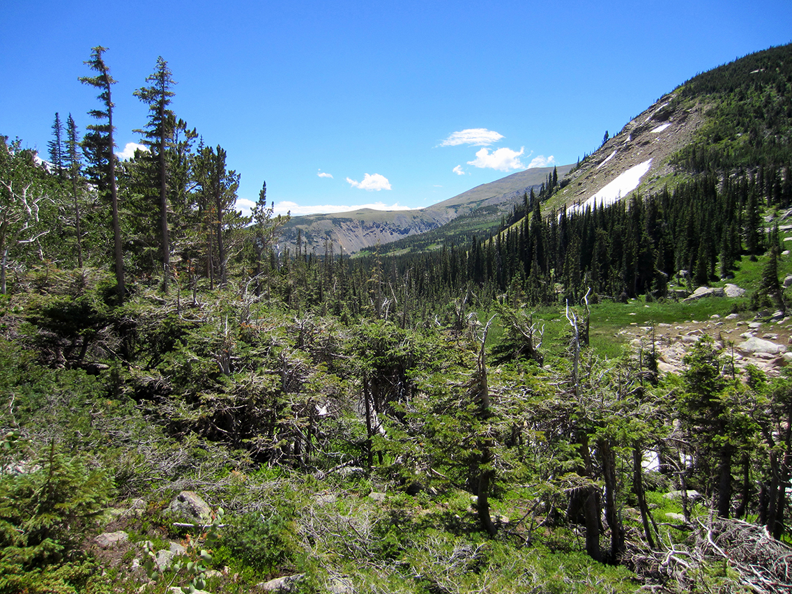
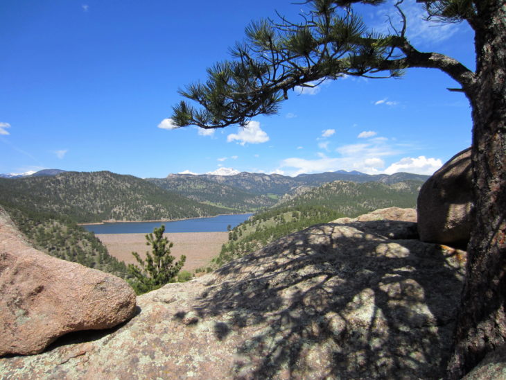
The trail grew greener as we made our way south and west. You can see Shadow Mountain Lake near Grand Lake in the distance.
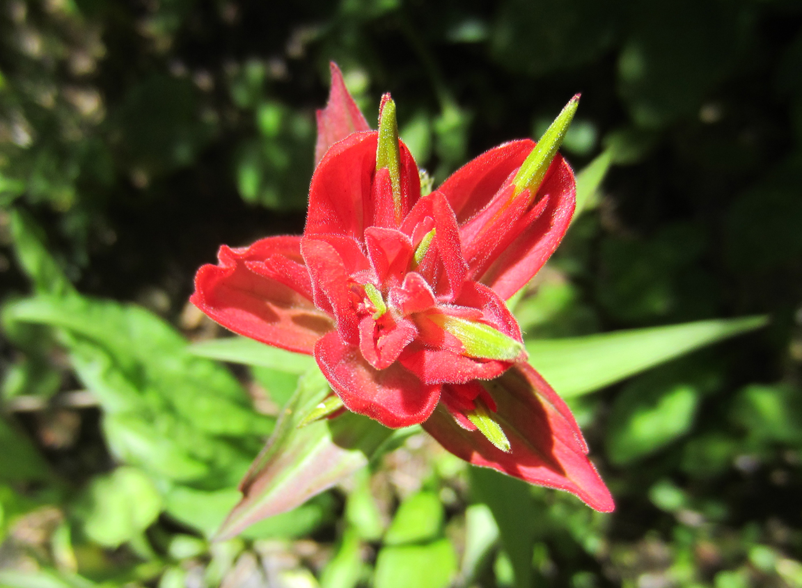
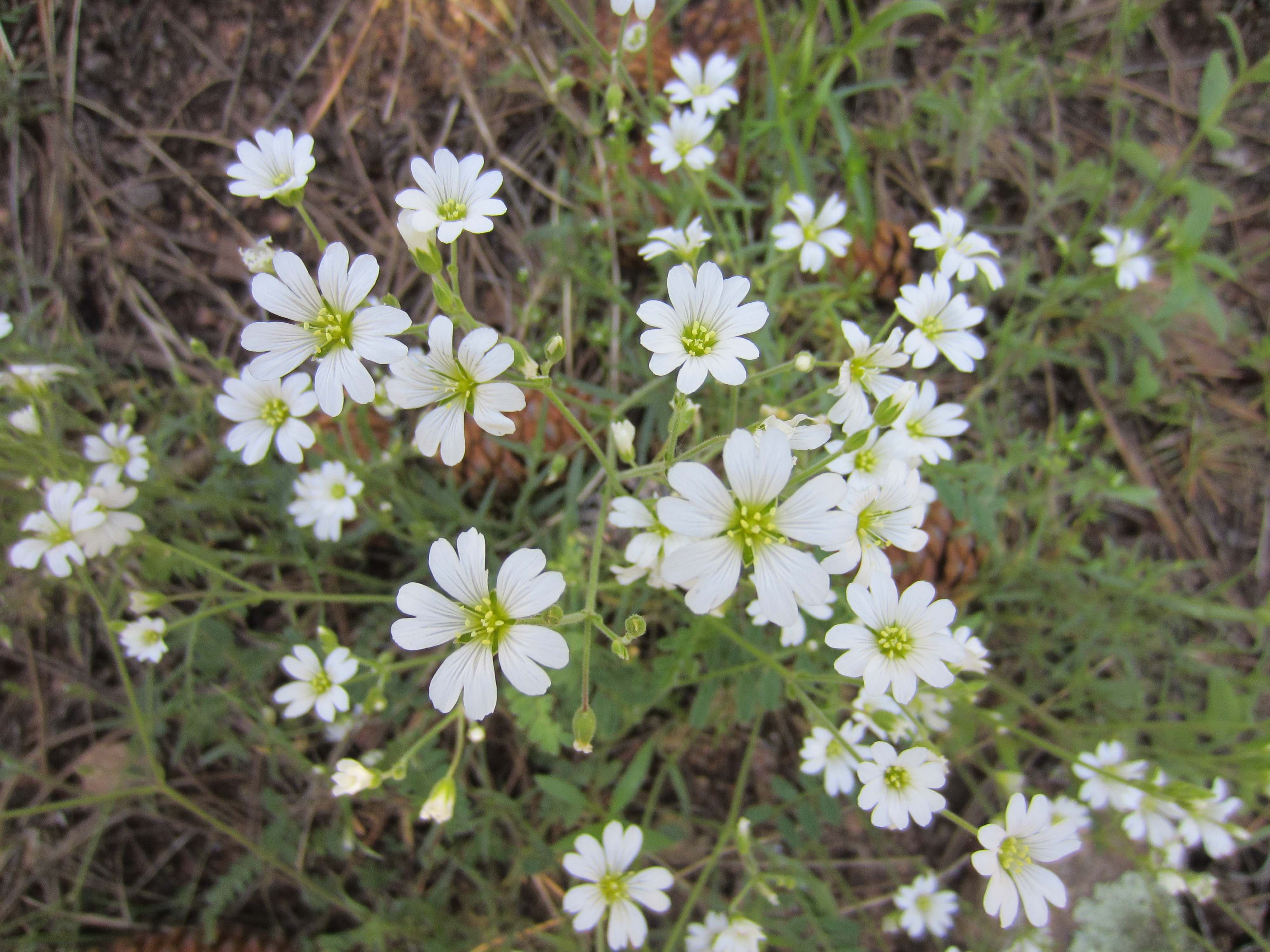
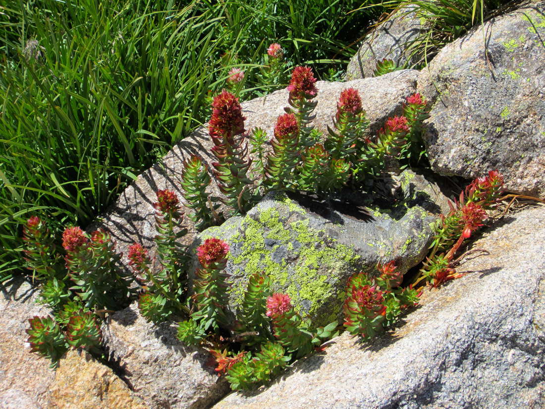
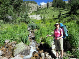
Eventually the trail crossed below Andrews Pass and started a gradual descent to the valley below. Small, trickling streams emerged and danced down the mountainside. Here the grass grew green and wildflowers dotted the landscape. A bouquet of yellow daisies. A patch of King’s Crown. A grass with an interesting black tufted “flower” that I didn’t know the name of.

King’s Crown
I looked up from the wildflowers and stream. A hawk sailed overhead. And we were the only two people on this remote part of earth.
My gaze left the blue sky and traveled over the blanket of evergreens on the mountainside to the West, then down, down to the deep valley floor below. At the bottom, a small avalanche area near Hallett Creek held the bare tree trunks of fallen pines. From this distance they looked like tiny match sticks. It was hard to imagine we would be hiking all the way down there.
On the North Inlet Trail, beginning our descent to Grand Lake
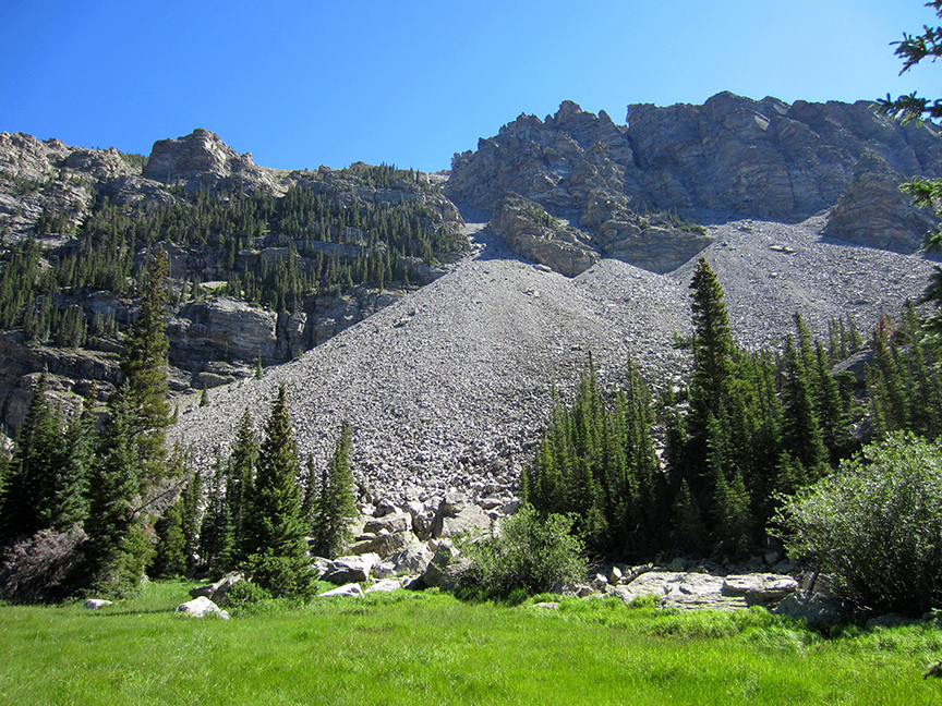
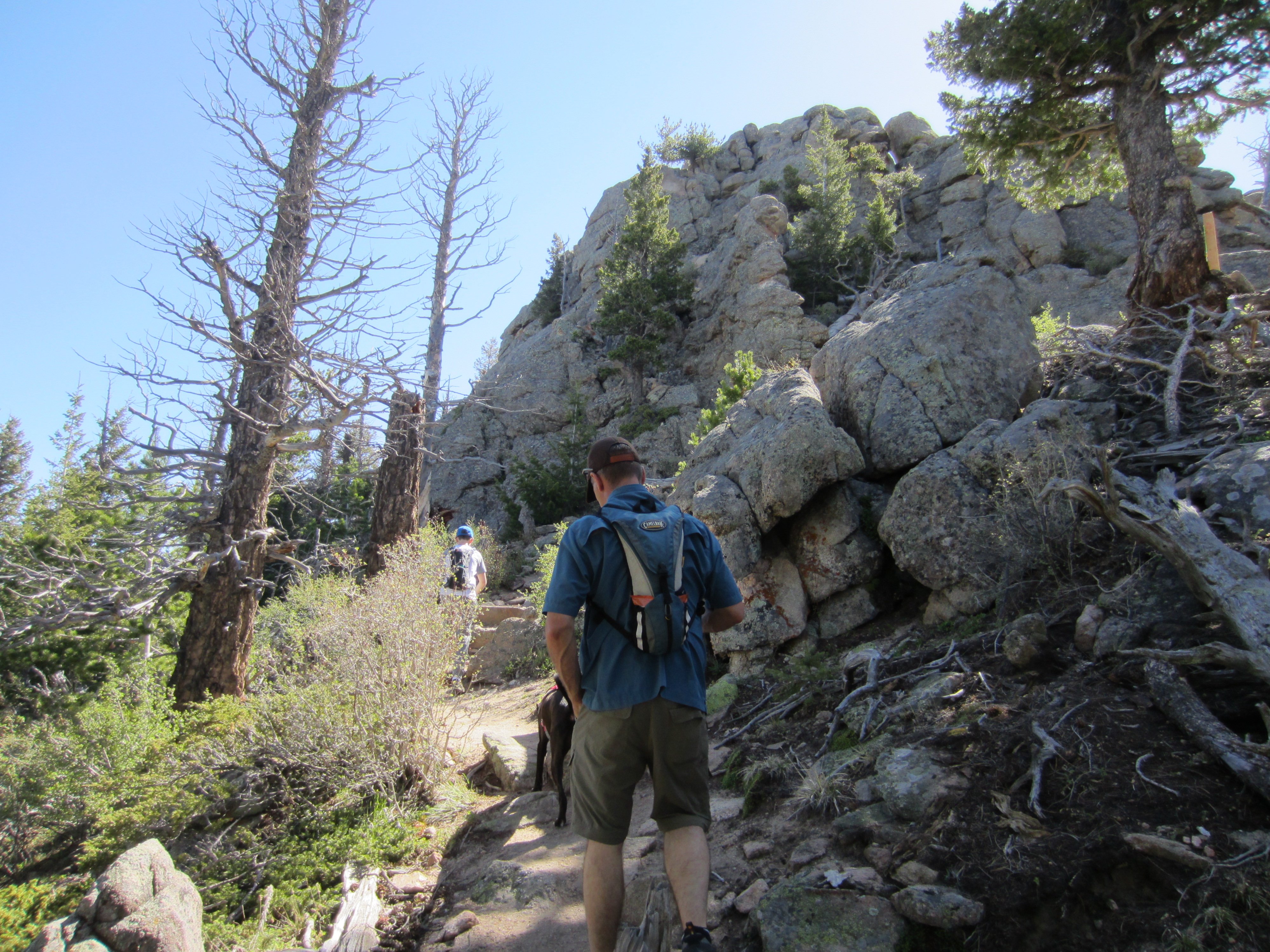
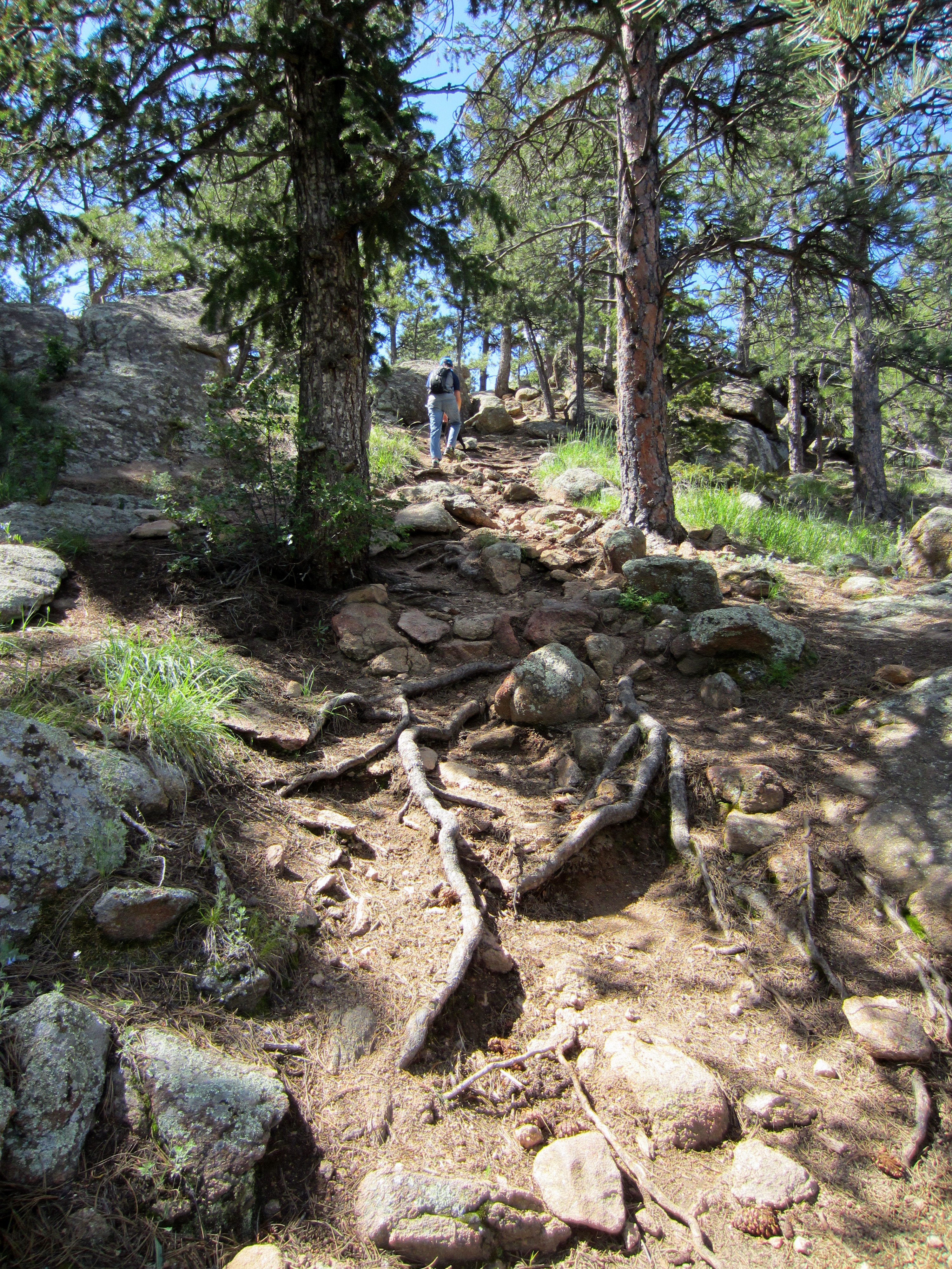
But descend we did. Down a never ending series of steep switchbacks, the trail full of large rocks to be carefully negotiated, lined with tall yellow flowering bushes. The trail was beautiful. But the trail was hard on my legs and feet.

North Inlet Trail Switchbacks
I had seen this set of switchbacks on the map – a 1,400 foot descent in 1.3 miles. It was what I had worried about most. Would by knee survive it? Or would I be done in by the downward pressure of the steep trail and my heavy pack?
In the end it was my feet that did me in. I wore my trusty Merrell trail running shoes that I had day hiked everywhere in for several years. I hadn’t made the time to break in a new pair of boots for backpacking. And I had not wanted to risk blisters or other problems by wearing something new for the first time on our trip.
Nearing the bottom of the first set of switchbacks. My smile is waning – ha! My feet were killing me.
But near the bottom of the mountain I realized it was my single biggest mistake. I really did need the sturdier mid-shaft support of a backpacking boot. My ankles ached. My arches sent sharp spikes of pain up my foot with each step. And I realized that the pebbles that I had imagined were in my shoes were actually large hot spots on the outsides of my feet, growing wider with each step.
I kept walking, my eyes trained on the back of my dad’s pack ahead of me. We reentered treeline and quickly reached the bottom of the canyon. The fallen trees were now large and scattered like a crazy lumberyard.

After 5+ hours above treeline, it was nice to hike past tall pines again.
We passed the July camp sites, the first two sites on the trail. It had already been booked by another party when Dad made our backcountry reservations. How I wished one of them was ours!
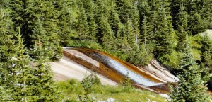
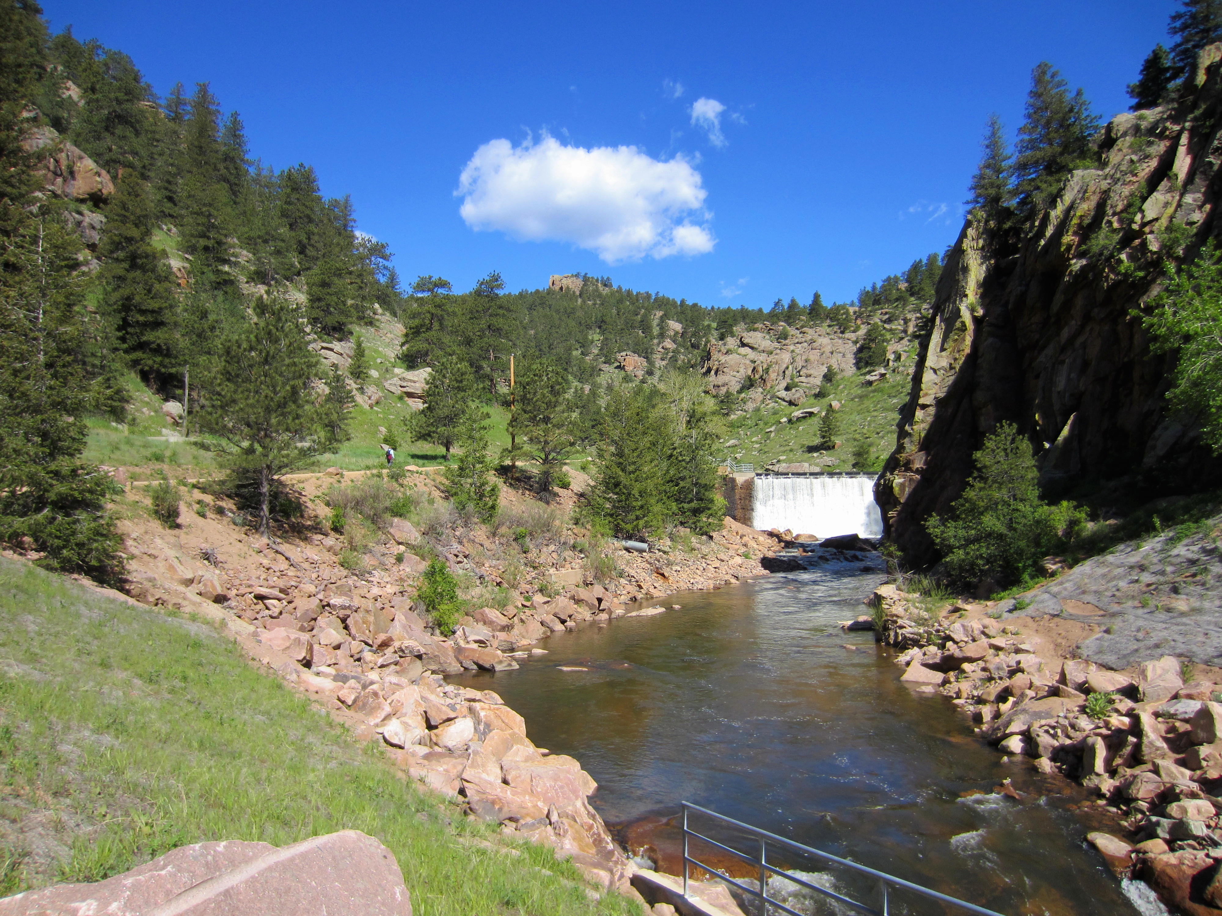
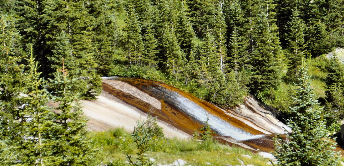
Just past the July camp sites, Hallett Creek sails over what appears to be smooth sandstone.
“Another 15 minutes, then,” said Dad. He was looking forward to getting his pack off his back as much as I was.
I sat down on a log and took the weight of my pack off my shoulders as I looked at the map. We were to camp at North Inlet Junction. The orange dashed line on the National Geographic Trails Illustrated topographic map looked well longer than 15 minutes, and there would be another set of switchbacks.
I put the map away and continued down the trail. Hallett Creek rushed alongside us, growing wider and faster, then plunged down the canyon to join the North Inlet, out of site.
We reached the first switchback and began another descent. Our camp site would be at the bottom somewhere, near that creek.
Each time a switchback ended and the sound of the North Inlet Creek grew louder, there would be another switchback and the sounds of the creek would drop away. We continued on in disappointment. It was impossible to tell how many switchbacks there would be from the map.
I stopped often, resting my feet and back. Then rose up and continued on.
At some point my walk turned into a pitiful stooped over shuffle. Everything hurt. My feet ached, the growing bruises on my hips and the front of my shoulders were sore, and the muscles of my inner thighs were noticeable. I pondered that. Surprising that I should feel my inner thighs. But I guess I had been working my whole leg for 10+ hours now, so no wonder.
I stared at the long, wavering lines left in the dust at my feet by Dad’s trekking poles ahead of me. He had begun dragging them along behind him, lowering his shoulders to reduce the weight of the pack on them.
“Yippeeekaiiiyea!!!!!”
It was Dad, shouting. We had reached the North Inlet Junction campsites. That hopeful “15 minutes” had turned into 2+ hours. But we had made it!
Amazingly, Dad pulled out his camera to document the moment. An unflagging shutterbug, Dad will always capture the images that I will regret not taking the time for later.
I leaned on the campsite sign on the side of the trail and managed a smile.

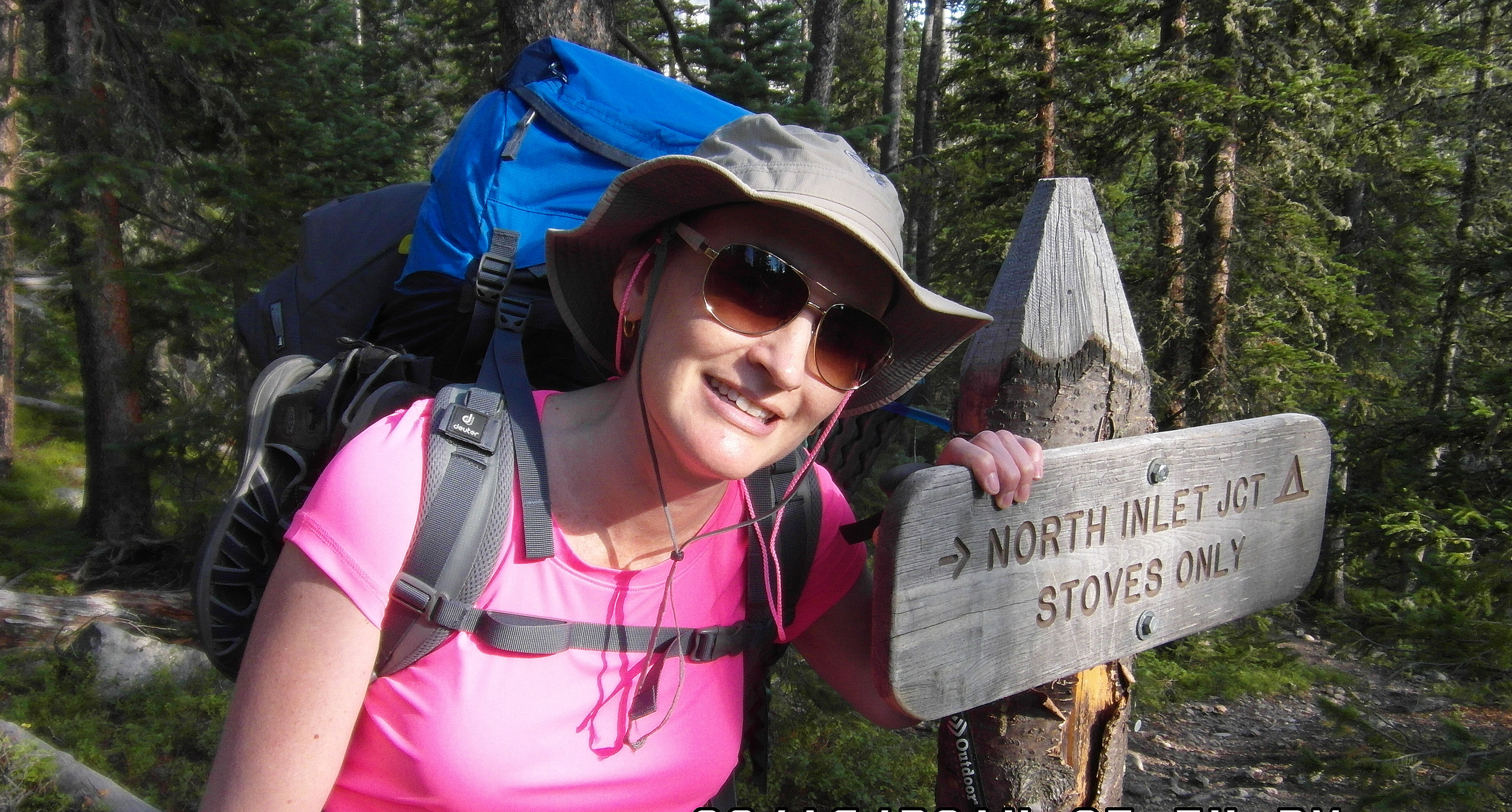
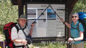
North Inlet Junction Campsites
Then we crashed down the trail, ready for relief. The first site was already taken. Two tents stood erect, and two 3 liter Camelbaks lay filled to the brim and resting on logs.
So we continued on, picking our way over fallen trees, around rocks and further into the woods on a barely discernible path. A red downward pointing plastic arrow nailed into a tree told us we were still on the trail. Down and around some more, past more slender aspen and pine trees.
A sign pointed left to the Privy. I would be coming back to find that soon.
Where was this camp site? Why did it have to be so farrrr off the trail?
Finally, the path emptied out onto a clearing. I could hear the rush of the North Inlet Creek in the distance.
I sat down on an upturned log, took off my pack, and heaved it around onto the ground. Finally it was off. I stood up to go find the privy and was surprised to find that I was still stooped over! I had to put forth effort to stand upright, unfolding slowly and painfully as I wobbled back to the trail. I would have laughed had I not been so tired.
I followed the trail through the woods back to the privy sign, then following that trail. It dead-ended at an area with a “Restoration Area – Keep Off” sign. What?
I looked at the ground, and the fallen logs on my left appeared slightly less random than nature could manage. So I turned and followed them, and found the privy. It was open on two sides, and the approach was on the open side. I didn’t see any knees, so I made my way over to it. I looked around at the silent woods. Somewhere there were two camping neighbors, but I was too tired to care who might see.
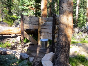
Privy at North Inlet Junction
Business done, I walked back down the convoluted path to the camp site, wondering how I would ever find this place again in the dark if I had to go in the middle of the night.
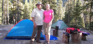
Dad had his one-man tent mostly up. I pulled my brand new REI Passage 2 tent out and laid out the footprint, lined the tent up over it, all in agonizing slow-mo.
Dad drove in the stakes and helped me figure out the rainfly.
That chore done, I pulled out my bear canister and rummaged in it for some dinner. Bear canisters are required in Rocky Mountain National Park, and I was glad I had not taken the first one offered for rent at REI. It had been big and yellow, and heavy. I commented on this and the helpful REI employee said they had a smaller one. He retrieved it from the back and placed it on the counter. It was black, and at least an inch shorter and narrower. I picked it up and it was lighter by at least a pound.
In it I had food for several days (too much,) my toiletries, sunscreen, and anything that had a “smell.”
I pulled out some hummus that I had frozen the day before, and a bag of homemade pita chips. I ate, but without relish. I was just too tired to enjoy much of anything.
I posed for the mandatory campsite photo.
I pulled the Camelbak reservoir out of my pack, and was surprised to see I had only drank 1.5 liters. Probably not enough. I put it in my tent along with my pack. I crawled inside and changed into thermals. I unfolded the accordion of my old-school Z-rest insulated pad and laid my new North Face Cat’s Meow down alternative, super compressable sleeping bag on top. It was supposed to keep me comfortable down to 20 degrees. I blew up my new inflatable red pillow with a few breaths, placed it at the head of my sleeping pad and bag, and lay down on the luxurious layers, flat on my back.
Pure bliss!!!
I felt my back and leg muscles lengthen and relax. I drank some water and ate some dried fruit and nut trial mix.
After one last too-far trip to the privy, we packed up our bear canisters and stashed them probably not far enough away from camp, and said good night. It was only 7:30, but we were ready for lights out.
I crawled into my sleeping bag and pulled the map near my face. I thought I might look over the next day’s trail, but I set it back down, too tired. Later, I opened my eyes and it was dark.
I stayed warm during the night, but rolled from my back to my left side, to my back, to my right side, all night. Even with a mat, the ground was hard, and I could feel the sore spots on my hips. But I did sleep.
I awoke to pale light and the sound of Dad unzipping his tent. I wasn’t ready to get up yet. As deep as we were in this valley, sunrise would come late.
I got up at 6. It was cold and dewy. It took two solid hours to get the tents packed up, water reservoir refilled from the stream with dad’s pump, and our cereal bar breakfast eaten. I kept having to stop and huff warm air onto my cold, numb fingers. Mental Note: Next time, bring gloves! We hadn’t brought a camp stove, as we knew we would be too tired to cook anything and it saved some weight. But I could have used a hot cup of tea or cider.
Packs loaded and heaved onto our backs, we worked our way through the woods and back onto the North Inlet Trail. This day would be easier, pretty much all downhill. We walked quickly in the cool, morning air. My thumbs grew numb from the cold. You can’t put your hands in your pockets when you are using trekking poles!
The woods to my left opened up onto a marshy meadow. We scanned to area, hoping to see a moose. No moose.

Just me. No moose!
We continued on down the trail, passing other campsites called Porcupine, Foot Bridge and Ptarmigan. Then we passed the North Inlet Group site. If our hike had occurred two weeks earlier as planned, this would have been our camp site. I groaned thinking of how miserable I would have been if we had had to come this much farther down the trail before quitting for the day.
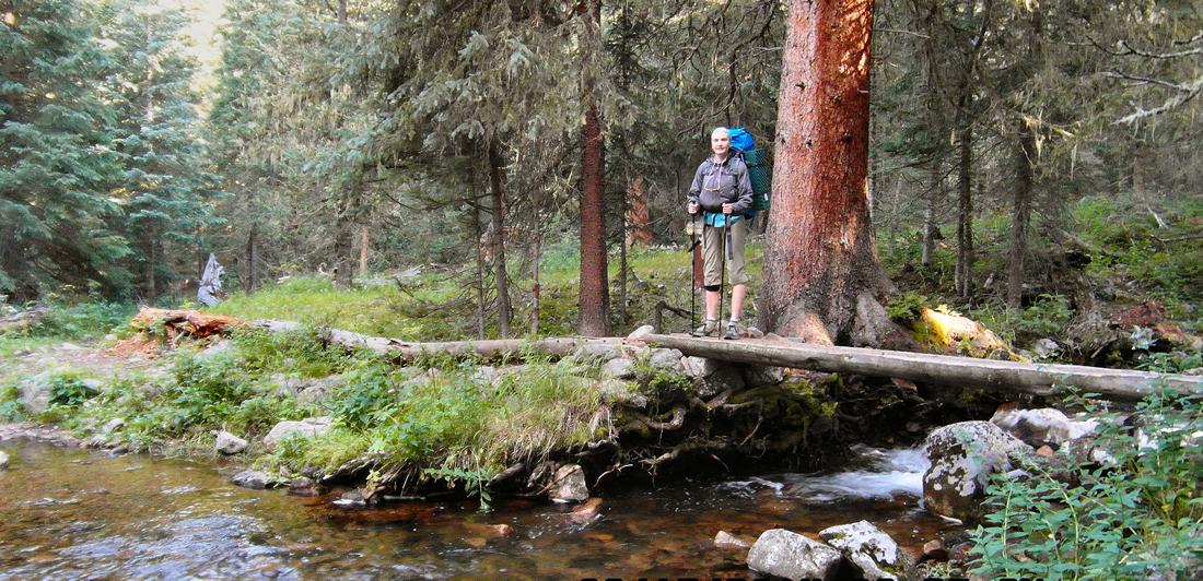
Crossing Ptarmigan Creek
As I was crossing a split log foot bridge, I was surprised to see the grain of the wood undulate in a wave before me. And then shortly afterward, when I looked at the pine tree covered mountainside opposite, the green tree tops seemed to ripple out from my center of vision, like a stone thrown into a pool.
Dad said it was exhaustion. It surprised me and it didn’t surprise me. I felt pretty good at the moment, but the previous day had been pretty hard on my body. I drank some more water, and after a while the world stopped doing the wave.
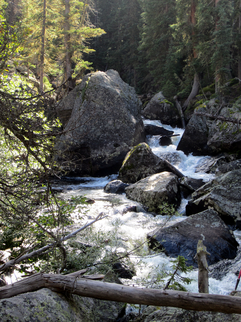
Pretty views of the North Inlet Creek all along the trail.
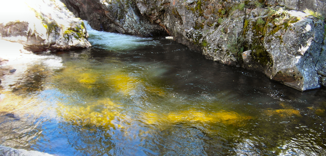
The trail continued along the creek, and we came to the Big Pool, a lovely area on the stream where a series of crashing falls ends in a calm, deep pool. We snapped some pictures, then continued on.

The Pool, North Inlet Trail
Photo by Larry W. Jones
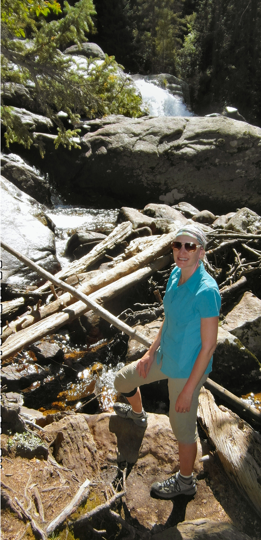
Cascade Falls was the next landmark, accessed by a steeply descending spur trail. I paused. The last thing I wanted to do was hike back up a steep trail. I wasn’t sure the falls would be worth it.
But dad hollered “Come on.” So I started down the trail.
At the bottom, I took off my pack in order to better negotiate the narrow path down to the falls. While it was a pretty spot, most of the falls was hidden by a large boulder. Dad was disappointed, having expected a good photo opp. I was just happy to have my pack off.
Cascade Falls
We greeted the woman sitting by the falls, eating a sandwich. Then we got back on the spur trail. I was relieved to see that we didn’t need to hike back up after all. The spur trail rejoined the main trail at a lower elevation.
After hiking past what looked like lava rock overhanging the trail, we stopped for a snack. This sunny, rocky stretch was bordered by wild raspberry bushes on both sides, loaded. I supplemented my Bear Naked bar with sweet, red berries. Yum.
Packs back on and heading down the trail, we started running into more day hikers coming up. The trail diverged from the North Inlet, and the woods grew quieter.
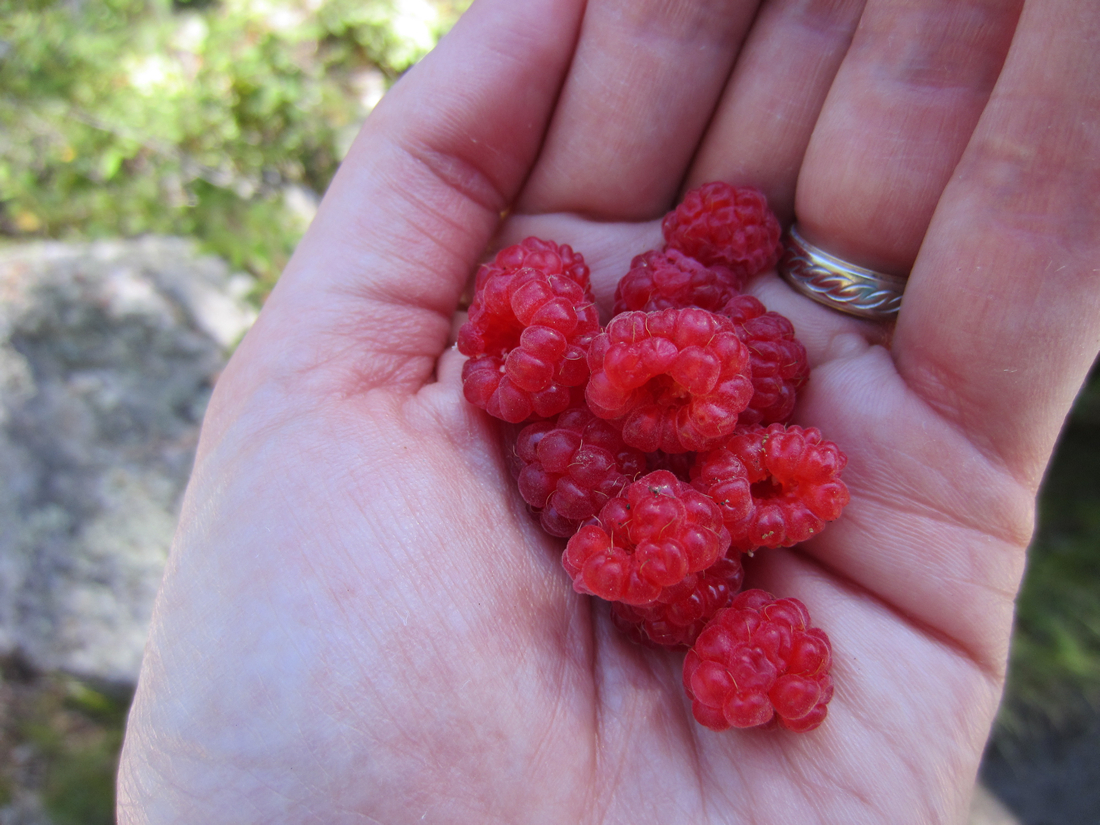
Wild raspberries on the trail are such a treat!
Rounding a bend, we came upon 3 men with overnight backpacks. Two were in their mid to late 30s, tall and fit. The third one appeared to be in his 50s. Their father? He had a beer belly and his shirt was sweaty.
“How long you been out?” asked one of the younger men.
“Just one night. Hiked from Bear Lake yesterday,” said Dad.
They nodded. We shared some trail news, and found out that they were headed to Bear Lake themselves.
North Inlet Trail just past Cascade Falls
I raised my eyebrows. How would they ever make it up and over? The older man was obviously taxed by his morning efforts, easy compared to scaling steep switchbacks.
“We’re going to take our time,” one of the younger men assured us.
We wished them well and headed down the trail, but I continued to wonder. You could camp all along this valley to the last camp sites, July. But there was no breaking up the “up and over” part. It was either too steep, or all above treeline from the end of the canyon to Bear Lake. There was no way to break up the 8+ hours of strenuous hiking that I was aware of.
Nearing the end of the trail, much ahead of schedule, we veered off at Summerland Park for lunch. The trail to this group of camp sites was long and confusing. We finally found it at the eastern edge of the marshy Park.
We decided we would never want to camp here. It was too far off the trial, and there was evidence of large animals having bedded down. The last thing I would want is to wake up nose to nose with a moose or bull elk.
But it would suffice for lunch. I laid out my Z-rest pad on the ground and up over a fallen log. Perfect lawn chair. We ate another cereal bar and some trail mix, glad to have our packs off. After about a half hour, we headed back out.

Lunch at Summerland Park camp site.
Soon we were on a dirt road that went past a summer house and private property, then alongside the creek which had leveled out to a wide, calm stream.

Dad was nearly out of water, having skipped refilling his water bottles that morning. The day was warmer and we were drinking more than we had the day before. So we stopped along the creek to refill them. But for some reason the pump that had worked earlier in the day would not draw a single drop of water now.
We pressed on, passing fresh families out for nature walks. We reached the North Inlet trailhead at 2pm, hours ahead of our planned pickup by my husband Doyle in the Suburban. A short phone call confirmed that he, mom and my son Brogan had left Longmont as planned at 1:30, and it would be at least 2.5 to 2.75 hours before they would make it to Grand Lake.
I was desperate for shade. I found a patch alongside the road, dumped by pack and laid out my z-rest pad again. Ahh. A bed on a rock. Amazing. So glad I went old school with my sleeping pad choice.
Dad refilled one of his water bottles with stream water, and I added a purification tablet. I lay there and shook his bottle gently for 10 minutes, according to the instructions, as I watched puffy clouds float by. Amazing it had not rained. Perfect weather.
I set down his bottle for the required 30 minute standing time before it would be safe to drink. I closed my eyes and rested.
Dad came back and was talking about the great sign he had found and had taken a picture of. I was more worried about how to get off this road. The occasional auto rolling past was a little too close to my feet for comfort.
I pulled out my map, and realized how close to town we probably were. Maybe we should just walk down to the lake?
Then I noticed dad was drinking from a water bottle.
“Which bottle is that?!” I asked in a panic.
“The one I just refilled.”
“You can’t drink that yet! Did I say you could drink that??!!! It hasn’t been long enough!”
I got a handle on myself. If he was going to end up with some intestinal issue, it was too late now.
He shrugged and kept drinking.
We decided to walk down to the lake. Visions of cold ice cream and cool lake waters made it possible to put my pack back on.
I can’t believe I am putting this thing back on!
The hike into town was all downhill, and unbelievably short. There was even a trail that cut directly across the road and down a short hillside so that hikers on the CDT could go straight into town.
 As we crossed the main road in the middle of town, a man on a bike hooted a greeting. I wonder how many CDT thru-hikers and “up & over hikers” he sees in a given summer. We had only been out one night, but you wouldn’t know it from the sight of us.
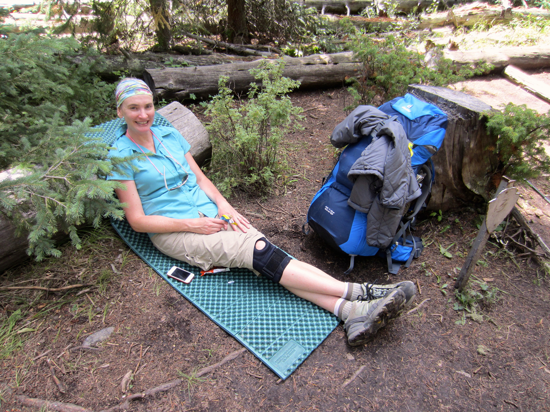
We found a large picnic table at the little “beach” on Grand Lake that was getting some welcome dappled shade. I unloaded my pack – FOR THE LAST TIME – and changed my insufficient footwear for my cushy Keene sandals. Ahhh.
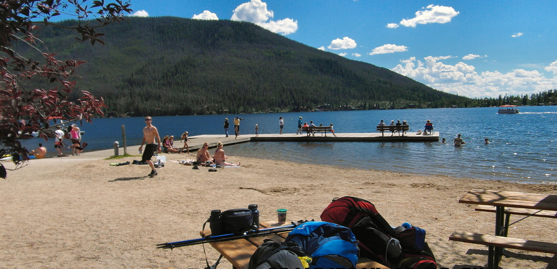
Grand Lake, CO
While Dad watched our packs, I walked over to the Snak Bar and got us some ice cream. Buttered Pecan for me, and vanilla soft-serve in a cup for Dad.
On my way back to the picnic table, I passed a Witness couple at a literature stand along the sidewalk. What a great spot! I introduced myself and told them what I was up to. I don’t recall their names, but they live in Hot Sulphur Springs, a not too far drive for them.
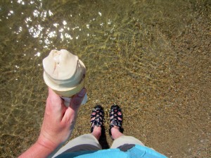
I gave Dad his ice cream, and walked over and into the edge of the lake. The cool water on my toes was absolute bliss. The ice cream was cold, creamy and delicious. The beach was full of happy kids, teens and adults, relaxing and playing. A perfect end to the trail.
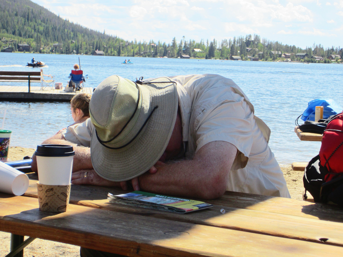
 Dad went and got us coffee. Ahhh. Coffee and ice cream. Then he put his head down for a nap. I laid my z-rest mat out on the bench one last time and stretched out.
Around 4, Doyle and Brogan and mom arrived.
“Hi, Mom,” said Brogan, giving me a hug. “I didn’t recognize you. You look like a hippie.”
Ha! I am now a backpacking, no makeup, wide hairband wearing hippie.
Mom was so great! She had brought a lovely picnic of roasted chicken, potato salad, homemade chocolate chip cookies and chips. She even brought frozen fruit pops!
While we ate, I shared details about the trail. The barren craggy gorges. My aching feet. The fat and happy marmots. How winded I was on the last mile up Flattop. The wide open tundra and sweeping views of the Western Slope. The grueling never ending switchbacks. The astounding beauty of high mountain streams and wildflowers.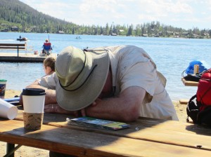
Yep, I am hooked. Absolutely hooked on backpacking.
GEAR NOTES & LESSONS LEARNED
Hiking Boots – I absolutely should have found a way to invest in a good pair of hiking boots with ankle support and a dense footbed before attempting to hike a long distance with a heavy backpack.
Backpack – I like my Deuter Women’s ACT Lite 60 + 10 SL backpack. It was about the 7th backpack I had tried on at REI, and although a bit heavier than other packs it just seemed to fit me better and I felt in better control of the pack when moving around. The women’s specific hip belt proved to be very comfortable. Even though the REI guy had loaded up the pack with beanbags and pillows to test fit the pack, I ended up moving the shoulder straps up two full notches by the end of the hike. I am so glad I had the extra adjustment available in order to get the weight off the top of my shoulders. And I am glad I did not go for a smaller pack! I used every inch of the main compartment for the bear canister, tent and sleeping bag.
Pack Gloves! Even in high summer, having some nice thin, all weather gloves would have made my hands more comfortable in the early morning hours.
Pack Less! Now that I have carried 35 pounds of gear for 18 miles, I now understand the necessity of counting every ounce in order to get pack weight down as much as possible. Water weighs 2.2 lbs a liter. Instead of filling that 3.0 liter reservoir up all the way, I could have filled it half way and saved myself over 3 lbs. I also plan to reduce the amount of food next time, pack only the tiniest and most necessary toiletries, and invest in a lighter bear canister. I also carried a 2-person 4.4 lb tent. Could have shaved some weight there, but it was my only good backpacking tent, and I plan on using it when my son and/or husband are with me.